
Friday, April 26, 2024


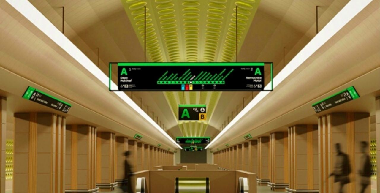
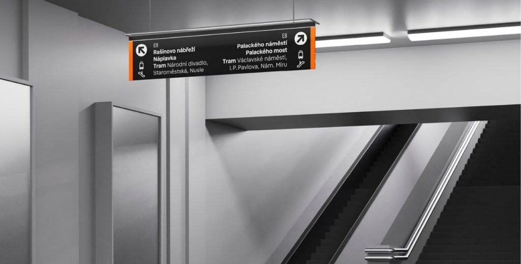
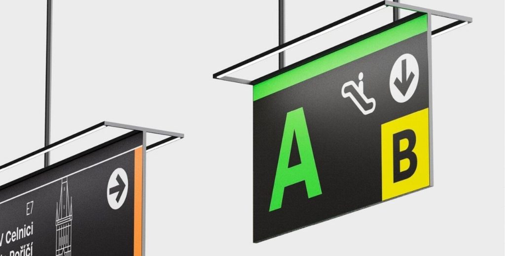
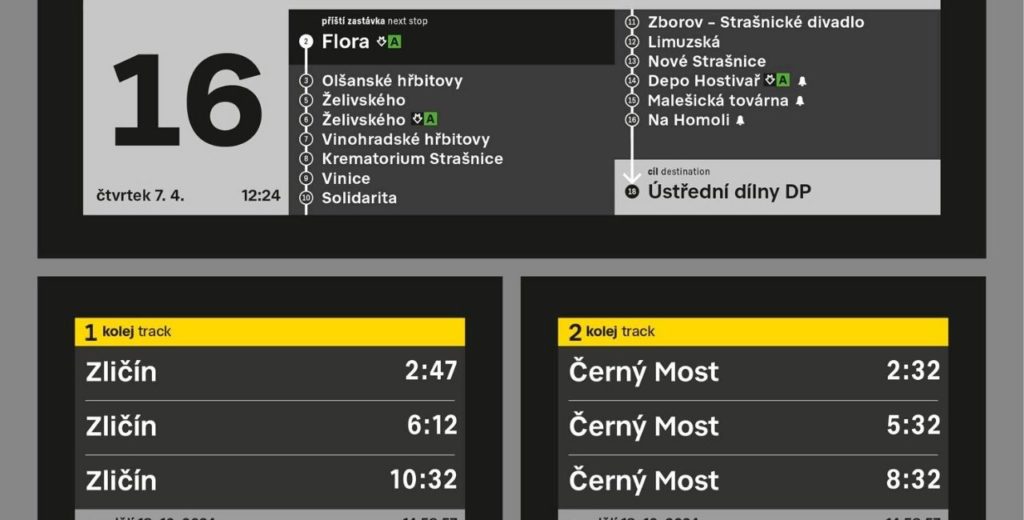
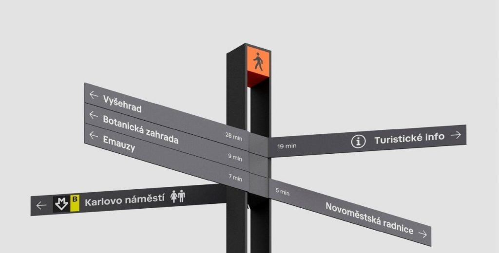
Prague City Hall introduced the new orientation system on the city streets and in public transit. By 2023, travelers will gradually see new information displays, signs, and maps.
Sixteen graphic studios took part in the international competition, won by three Czech agencies – Side2, A69 and Superior Type.
The project wants to standardize the current disparate elements of navigation and improve the comprehensibility of information for residents and tourists. The City Hall notes that the current navigation system was developed in the late 1970s and 1980s.
“Prague has a new, clear, and citywide system of signs and navigation. I want everyone to be able to easily find information about their itinerary and not get lost. Today it often happens, for example, when you are looking for the right exit from the subway, or at busy tram interchange points,” said Adam Scheinherr, Deputy Mayor of Transport.
“Currently, we have counted eight different information systems in the metropolis, each with its own administrator – for example, in the metro, and in the streets of different city districts,” added Scheinherr.
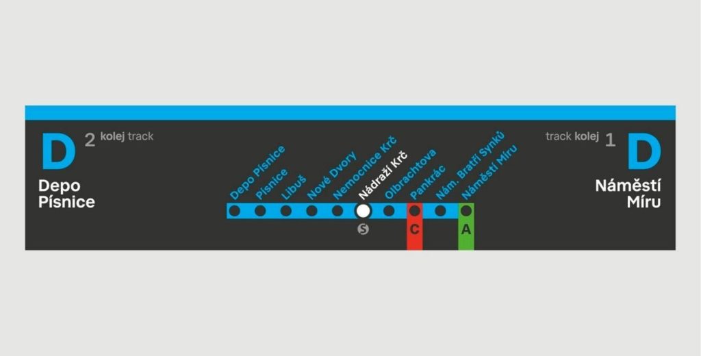
The pilot project will take place this summer. Travelers will be able to test electronic boards at Prosek, Ládví and Budějovicka.

Support Prague Morning!
We are proud to provide our readers from around the world with independent, and unbiased news for free.
Our dedicated team supports the local community, foreign residents and visitors of all nationalities through our website, social media and newsletter.
We appreciate that not everyone can afford to pay for our services but if you are able to, we ask you to support Prague Morning by making a contribution – no matter how small 🙂 .